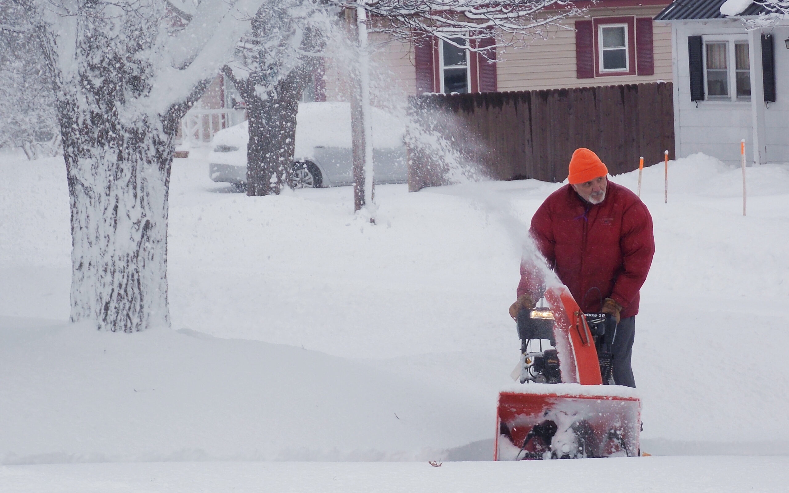
A fresh round of snow will greet Mainers Tuesday in time for the morning commute and likely create slick roads.
Snow moved into the southern Maine before dawn, and flakes will start to fall in Greater Bangor about 7 a.m., according to CBS affiliate WGME.
Forecasters anticipate that much of coastal, inland and eastern Maine will see 2 to 8 inches of snow into Wednesday night as back-to-back systems move into the state. Higher totals are expected in the western mountains and along the crown of Maine.
For Greater Bangor, about 5 inches of fresh snow is expected, according to the National Weather Service office in Caribou.
To the north, the weather service forecasts that northern Penobscot and Piscataquis and Aroostook counties will see as much as a foot of new snow, from 11 inches in Greenville to 13 inches in Caribou.
Down East will be spared much of the accumulation, with only 1 to 2 inches expected along the immediate coast and up to 6 inches inland toward Calais, according to the weather service.
Fairly prolonged two-part snow event expected today through Wednesday night. Powerful coastal storm develops late tonight with widespread 6-10 inches expected north of Katahdin for a 2-day total between 10-12 inches across the north. #mewx pic.twitter.com/lBWqrGTQxt
— NWS Caribou (@NWSCaribou) January 8, 2019
Southern Maine will be spared the brunt of the two-part snow storm. The weather service office in Gray forecasts only a dusting in coastal York, Cumberland, Sagadahoc, Lincoln, Knox and Waldo counties inland toward Augusta and Waterville. Instead, freezing rain is expected along the coast, according to WGME.
Further inland in Somerset and Franklin counties, residents can expect between 6 and 8 inches of fresh snow to fall.
As snow ends from west to east this morning, another system will arrive tonight, bringing accumulating snow, especially to northern areas into Wednesday. pic.twitter.com/R2mqIPLWKG
— NWS Gray (@NWSGray) January 8, 2019
Already, many schools across the state, particularly in the south, have instituted 2 hour delays Tuesday morning.
This article originally appeared on www.bangordailynews.com.