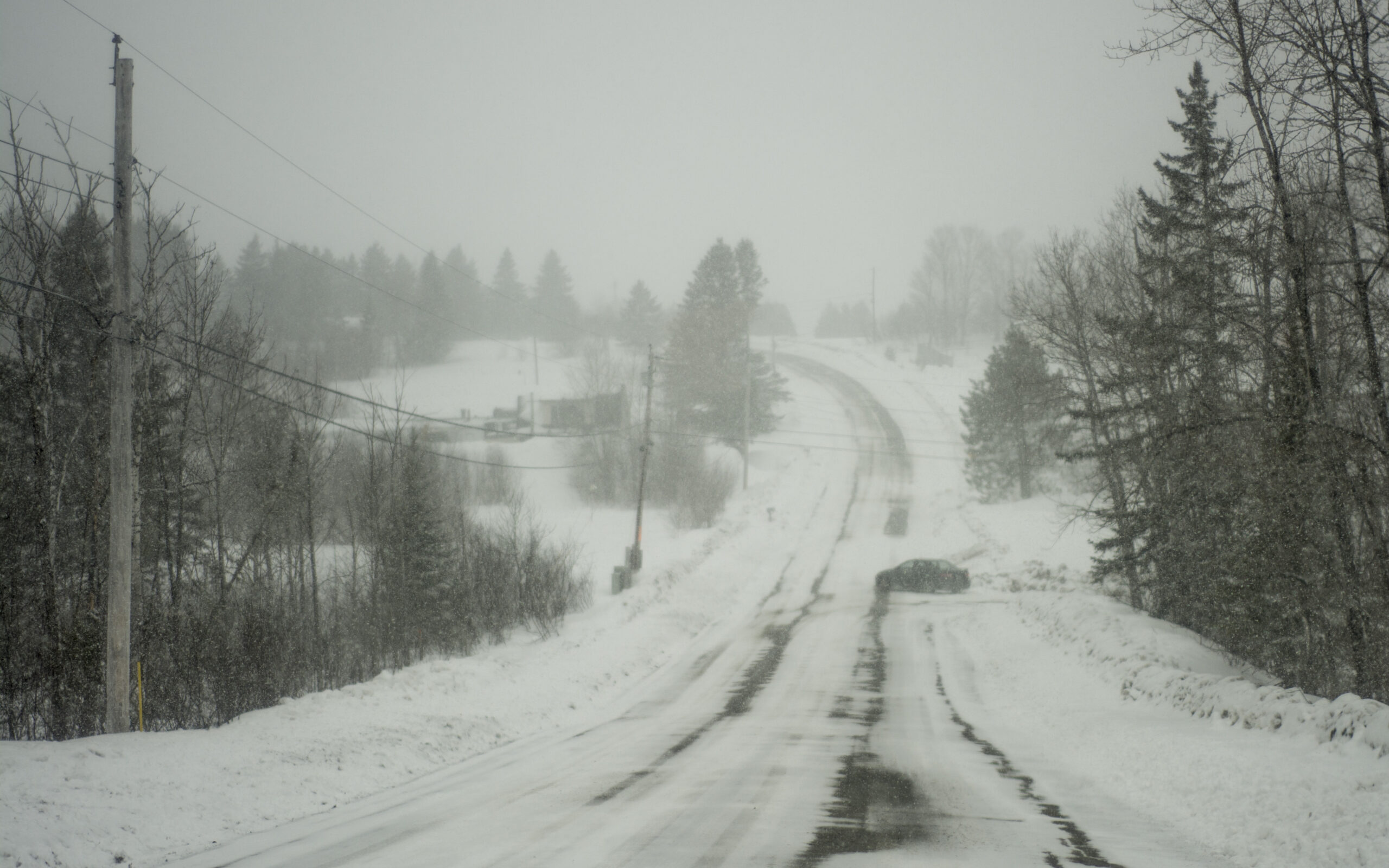
CARIBOU, Maine — The St. John Valley received the heaviest snowfall during an April 4 storm in The County, though all regions are expected to see increased wind gusts throughout the day on Thursday.
Meteorologist Tim Duda of the National Weather Service in Caribou reported that towns in far northern Maine, such as Fort Kent and Madawaska, received around 12 to 14 inches of snow, more than the initial predictions of 7 to 8 inches. By Thursday morning, Caribou and Presque Isle had reported far less, with 5.3 and 3.5 inches, respectively.
As predicted, Southern Aroostook saw the least amount of snow, around 2 inches, due to warmer temperatures.
“Any snow that did fall in that region turned to rain more quickly than in other areas,” Duda said.
While little or no snow is expected for Thursday, the National Weather Service has issued a wind advisory that will be in effect until 6 p.m. this evening, April 5. All areas of Aroostook County can expect to see areas of blowing snow and caution while traveling is advised. Duda stated that the National Weather Service has already seen reports of wind gusts over 40 miles per hour in Fort Kent, Frenchville, Caribou, Presque Isle and Southern Aroostook this morning.
“We’re seeing more wind now than we did yesterday with the actual storm,” Duda said.
He added that with temperatures in the mid-20s throughout the day on Thursday and night lows of around 10 degrees, there will be little snow melting. On Friday he expects temperatures to be in the mid-30s, with a couple inches of snow possible for that night.
“The temperatures for this weekend and Monday will basically stay at the mid-30s and around 40 degrees, which is a bit below normal for this time of the year,” Duda said.