More winter weather is predicted for the state Tuesday and Wednesday, three days after Maine’s first measurable amount of snow dropped between 4 and 8 inches across the state overnight Saturday.
How much winter precipitation is expected in Maine was a moving target Monday afternoon. The National Weather Service repeatedly changed its local forecasts as the weather system approached from the Midwest.
As of late Monday afternoon, the heaviest amounts of snow were predicted for central Piscataquis County, which could get 8 to 12 inches, and for northern Somerset, Piscataquis and Aroostook counties, which could get between 9 and 13 inches, according to the National Weather Service.
Snowfall is predicted to last from mid-morning on Tuesday to after midnight early Thursday morning.
Snow is expected to start falling before sunrise in southern and western Maine, with 6 to 9 inches predicted for Oxford, Franklin, and much of Somerset counties, where localized areas could receive as much as 11 inches.
A more southerly swath of the state, from inland York County through central Maine to Penobscot, southern Aroostook and inland Washington counties could get 2 to 6 inches of snow with some sleet mixed in. Snowfall in western and inland southern Maine is expected to taper off after midnight Wednesday morning.
Little accumulation is expected along the entire immediate coast, where much of the precipitation is expected to fall as rain.
-

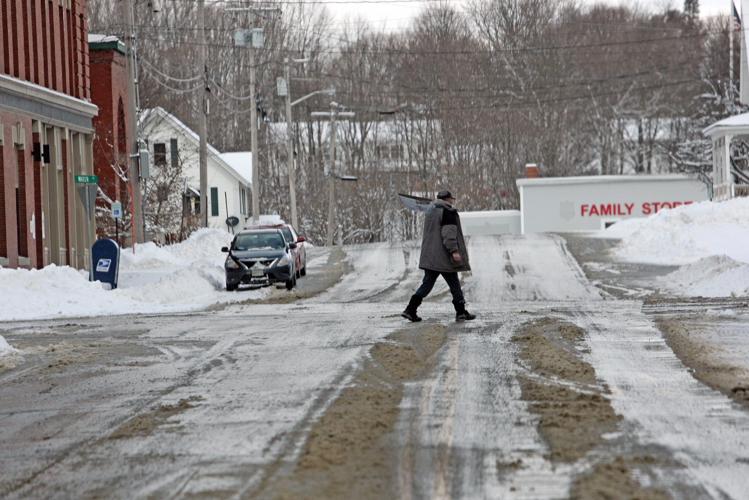
- The walking path of Riverfront Park in Houlton (Joseph Cyr)